Hiking near the Middle Fork and North Fork American
Posted August 30, 2023 by Reily Schultz
There is much more adventure to be had along the American River than rafting. You can check out the old vibe of the nearby mountain towns, or head out for a hike (better yet – do both). Whether you rafted the North Fork or Middle Fork of the American River, the surrounding areas offer plenty of hiking trails with rewarding views. In fact, this part of the California Gold Country has so many miles of dirt roads and trails, it attracts endurance athletes from all over the world. You may not be up for running an ultramarathon after your rafting trip, but you may want to explore these hiking trails to keep the adventure going even after the rapids.
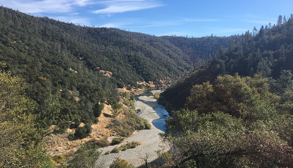
Foresthill Divide Loop Trail
With a trailhead right off of Foresthill Road, this scenic trail takes you across a ridgeline that overlooks the Middle Fork of the American River. You can hike this moderately challenging 10.7 mile loop in its entirety, or take one of several opportunities to shorten the walk. One option even gives you a view of Ruck-A-Chucky Falls!
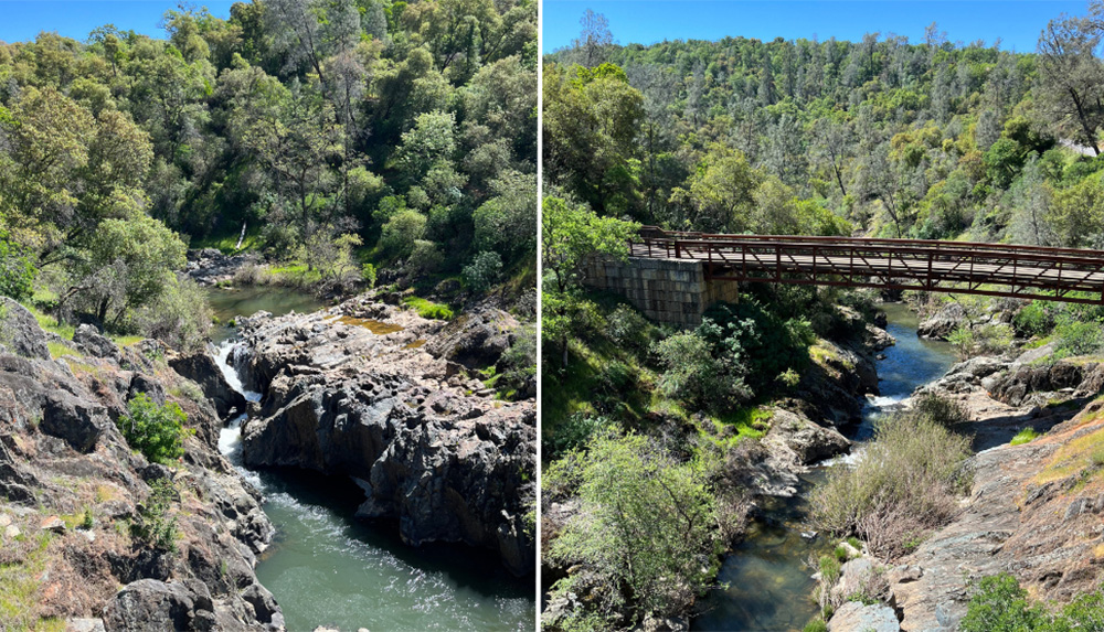
Lake Clementine
Lake Clementine sits at the base of a dam on the North Fork American River just outside Foresthill. There is a small section of this reservoir that is accessible directly from the parking lot, but the majority of the lake is only accessible by boat, paddle board, or swimming! A number of hiking trails bring you down to the lake as well as tracing its perimeter. This lake is the perfect place to relax in calmer waters after your day of whitewater.
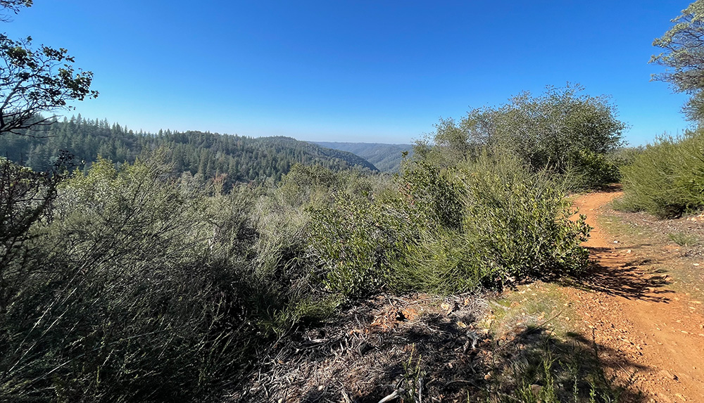
Hidden Falls Regional Park
This popular trail in Auburn requires reservations on weekends and some holidays that can be made the day prior, as it is a very popular park. This trailhead stems off into about 30 miles of different trails that vary in length, elevation gain, and difficulty. As its name suggests, this trail is the perfect place to see some waterfalls!
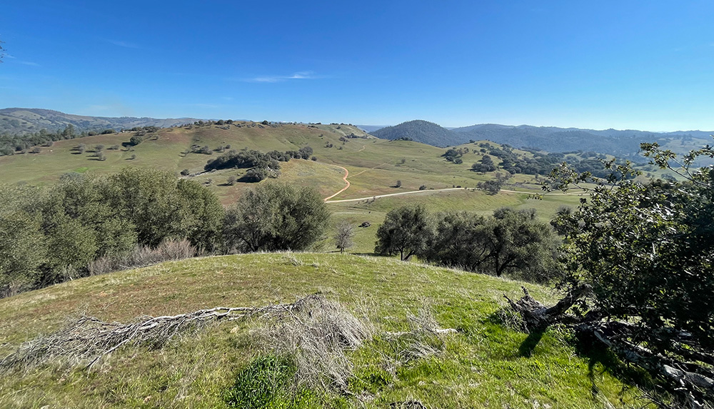
Olmstead Loop Trailhead
Tucked away behind the fire department in Cool, CA, this trailhead offers dozens of routes. There is a main bike trail that is 2.5 miles long and paved the entire way. This trail is fairly level and handicap accessible.
From this trailhead you have access to many smaller routes that range from ½ mile paths back to the bike trail, to a 12 mile loop that traces the edges of the park. You can explore side trails to discover old building foundations, mining equipment, and even a waterfall.
Knickerbocker Creek Trail to Salt Creek Trail
Some of our favorite trails from the Olmstead Loop trailhead follow creeks and tributaries. The Knickerbocker Creek Trail is a 4.9 mile loop and is the perfect place to spot some local critters! Wetter lands in the canyon are a good place to spot salamanders and for bird watching. This trail has a bit of elevation gain but is not too challenging otherwise.
Check out All Trails for downloadable maps, guides, and directions for each of these hikes.
Reily Schultz
Reily is a Gold Country native. She graduated from Willamette University with a degree in Studio Art and a minor in Gender Studies and Psychology. She joined the All-Outdoors family in the spring of 2022, working as a California Rafting Consultant and a member of the marketing team. Her favorite All-Outdoors itinerary is the multi-day Tuolumne rafting trip. Reily is an avid artist, outdoors-woman, and purr-fessional cat snuggler.