Hiking near the South Fork of the American River
Posted June 20, 2023 by Reily Schultz
Congratulations! You booked a whitewater rafting trip on the South Fork of the American River with All-Outdoors. Great choice! Now all that’s left is to plan the rest of your trip… Not to worry, we are here to help.
We are big advocates of getting folks outside (getting you all outdoors, if you will). Walking and hiking are great ways to enjoy your vacation, the scenery, and to get those muscles moving again after paddling your heart out.
Here are a few recommendations of trails for you to explore and keep your muscles from getting stiff after a rafting trip. We have included a variety of options ranging from easy walks to the water, to more strenuous hikes that let you take advantage of the wilderness around you.

Cronan Ranch
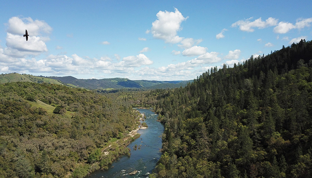
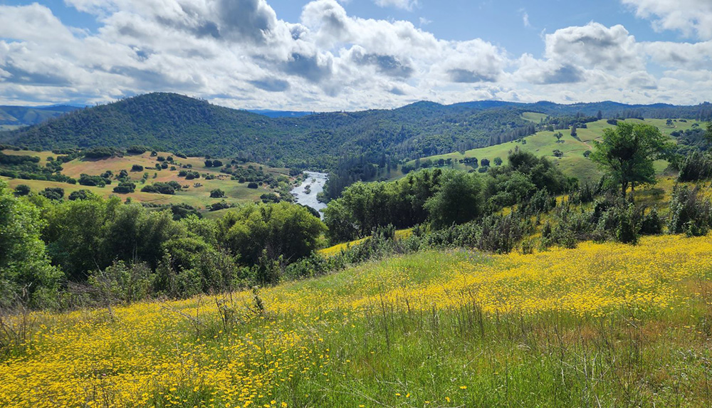
Cronan Ranch is a large park managed by the Bureau of Land Management. It contains miles of trails stemming off of a fire road that leads directly to the South Fork of the American River. From this road, you can hike to the top of hills that overlook the Coloma Lotus Valley with incredible views of the river below. There are options for hikers of any skill or energy level. If you continue to follow the riverside trails, you can hike all the way out to see the famous Class 3 rapid, Satan’s Cesspool, which is one of the Top 5 Rapids on the South Fork American.

Magnolia Ranch
Magnolia Ranch is a sister trailhead to Cronan Ranch, each starting on opposite sides of a large hilly ridgeline. A large parking lot designed for equestrian use leads to routes that spread out into a dozen different trail options, some of which connect with trails you can also access at Cronan Ranch. You can meander through a massive cedar grove, find some quiet river access, or hike to the top of the ridge to get an amazing view of the South Fork American River valley. You can choose your adventure! Trails range from 2 miles to 14 miles in this large park.
Dutch Creek Falls
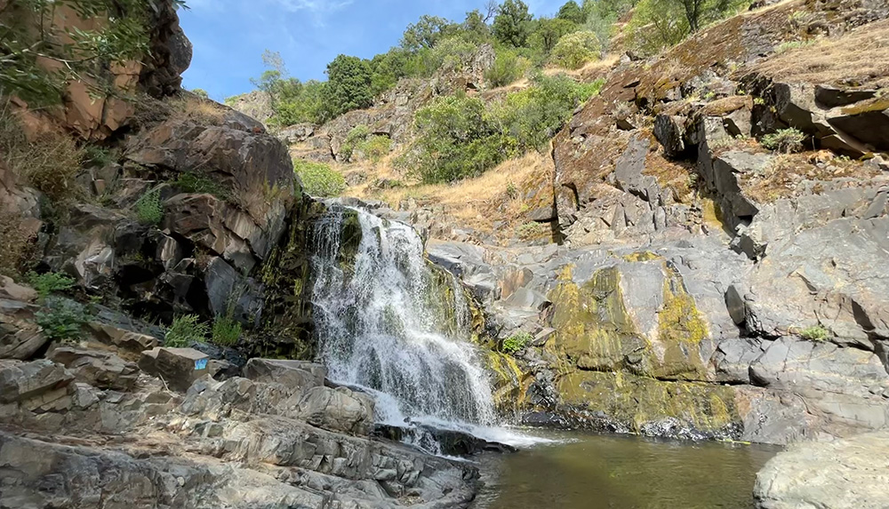
A waterfall? On a river? Yes, you read that right! This hike is a short one with a great pay off. You can park in the Marshall Gold Discovery State Park visitor lots* and walk across a historic one-lane bridge to find Bayne Road, where the trail head is less than a mile from the start of the road. This is a residential area so please explore respectfully! You will wind along the base of golden hills, following a small tributary that feeds into the South Fork American. After an adventurous 1.5 miles you will find yourself face to face with a series of waterfalls! Be advised, this trail is not maintained, and these waterfalls depend on snow-melt. If you are exploring in late summer you may not get full rushing waterfalls.

Skunk Hollow
Remember the bridge you floated under at the very end of your South Fork Lower trip? That’s where the Skunk Hollow trail begins!* This trail brings you up river through the Gorge section along the South Fork American River, winding past some of those splashy Class 3 rapids you just barreled through. You can get a closer look at Satan’s Cesspool and Hospital Bar, and maybe even wave to your fellow rafters as they charge down the river. This hike is fairly exposed with little patches of shade to cool down. Hike smart – be sure to carry sunscreen and plenty of water!

Red Shack Trail
The Old Flume Trail, known locally as the Red Shack Trail, is an infamous 2 mile down-and-up trail off of Highway 49 between Coloma and Placerville. Do not underestimate this trail! It is a steep mile down to the river, and a steep mile back up to the trailhead. The river access at the bottom is worth the hike! You can get a close up look at a Class 3 rapid, Racehorse Bend, that we raft on the Upper (Chili Bar) section of the South Fork of the American River.
*Parking fees are collected at these lots. These fees help maintain the State Park and fund trail maintenance, so please do your part to keep our public lands clean!
Check out All Trails for downloadable maps, guides, and directions for each of these hikes.